Maxar ARD Sample Data 001: San Francisco, California, USA
Last Updated: March 2, 2022
Download the Maxar ARD sample data
This page describes the contents of the sample ARD data that can be downloaded from the Maxar ARD product page. You will be asked to fill out a contact form before accessing the download link.
Note: A new version of the sample dataset was released on October 14, 2021. This guide matches the new dataset. You can download it from the marketing page.
Once you've downloaded the zipped file, open it and follow along with this review of the directory structure and output files. The sample data's area location is San Francisco, California, USA. The sample dataset is named sample-001*.
Note: Maxar ARD orders can be delivered to Amazon S3, Azure Blob, or Google Cloud storage locations. Although the sample data is available as a downloadable zip file, this is not a supported delivery mechanism for ARD orders.
Files and directory structure
Maxar ARD products are divided along a global discrete grid of 5km x 5km squares, organized by quadkeys and split into UTM zones. This also serves as a structure to organize the files. For more information about the Maxar grid system, see About ARD: The Maxar Data Grid.
The result is a set of GeoTiffs and accompanying metadata that make up an ARD tile. Files that describe the order request and the delivery are also included. All files are delivered to the cloud storage bucket or container and prefix specified in the order request.
This view shows the complete directory structure for an ARD delivery to a cloud storage location.
📁 maxar-ard-samples
└── 📁 sample-001
    └── 📁 acquisition_collections
        └─╴📄 103001005D31F500_collection.json
    └── 📁 order_collections
        └─╴📄 5765767567938565855-request_root_collection.json
    └── 📁 10
        └── 📁 120020223032
            └── 📁 2016-10-08
                └─╴📄 103001005D31F500-clouds.tif
                └─╴📄 103001005D31F500-cloud-mask.gpkg
                └─╴📄 103001005D31F500-cloud-shadow-mask.gpkg
                └─╴📄 103001005D31F500-data-mask.gpkg
                └─╴📄 103001005D31F500-healthy-vegetation.tif
                └─╴📄 103001005D31F500-healthy-vegetation-mask.gpkg
                └─╴📄 103001005D31F500-ms-saturation-mask.gpkg
                └─╴📄 103001005D31F500-ms-saturation.tif
                └─╴📄 103001005D31F500-ms.tif
                └─╴📄 103001005D31F500-pan.tif
                └─╴📄 103001005D31F500-pan-flare.tif
                └─╴📄 103001005D31F500-pan-flare-mask.gpkg
                └─╴📄 103001005D31F500-terrain-shadow-mask.gpkg
                └─╴📄 103001005D31F500-terrain-shadows.tif
                └─╴📄 103001005D31F500-visual.tif
                └─╴📄 103001005D31F500-water.GeoTIFF
                └─╴📄 103001005D31F500-water-mask.gpkg
                └─╴📄 103001005D31F500.json
    └── 5765767567938565855-request.json
This view shows the directory path to an ARD tile and its accompanying data. The directory path to the files that make up an ARD tile is:
bucket/container/prefix/UTM-zone/quadkey/acquisition-date/files.ext
📁 {bucket) maxar-data-samples
└── 📁 {prefix} sample-001
    └── 📁 {UTM-zone} 10
        └── 📁 {quadkey} 120020223032
            └── 📁 {date of acquisition} 2016-10-08
            └─╴📄 103001005D31F500-cloud-mask.gpkg
            └─╴📄 103001005D31F500-cloud-shadow-mask.gpkg
            └─╴📄 103001005D31F500-clouds.tif
            └─╴📄 103001005D31F500-data-mask.gpkg
            └─╴📄 103001005D31F500-healthy-vegetation.tif
            └─╴📄 103001005D31F500-healthy-vegetation-mask.gpkg
            └─╴📄 103001005D31F500-pan-flare.tif
            └─╴📄 103001005D31F500-pan-flare-mask.tif
            └─╴📄 103001005D31F500-ms-saturation-mask.gpkg
            └─╴📄 1103001005D31F500-ms-saturation.tif
            └─╴📄 103001005D31F500-ms.tif
            └─╴📄 103001005D31F500-pan.tif
            └─╴📄 103001005D31F500-terrain-shadow-mask.gpkg
            └─╴📄 103001005D31F500-terrain-shadows.tif
            └─╴📄 103001005D31F500-visual.tif
            └─╴📄 103001005D31F500-water-mask.gpkg
            └─╴📄 103001005D31F500-water.tif
            └─╴📄 103001005D31F500.json
The zip file you've downloaded is labeled "sample-001". This maps to the "prefix" directory in the above example.
ARD Tiles
The output of a delivery is a time-series stack of tiles and the accompanying metadata. The files are:
-
A single-band panchromatic GeoTIFF.
-
A 4 or 8-band multispectral GeoTIFF.
-
A 3-band RGB GeoTIFF. We refer to this file as a "visual" tile.
-
A set of data masks delivered individually in both raster GeoTIFF and vector GeoPackage formats.
-
A set of STAC-compliant metadata files that describe the contents of the order delivery.
Working with ARD tiles
The downloaded sample data can be read, opened, or viewed from your local directory with various applications and command line tools.
A few examples are provided below. For a more complete list of gdal/ogr and rio commands, see Command Line Tools
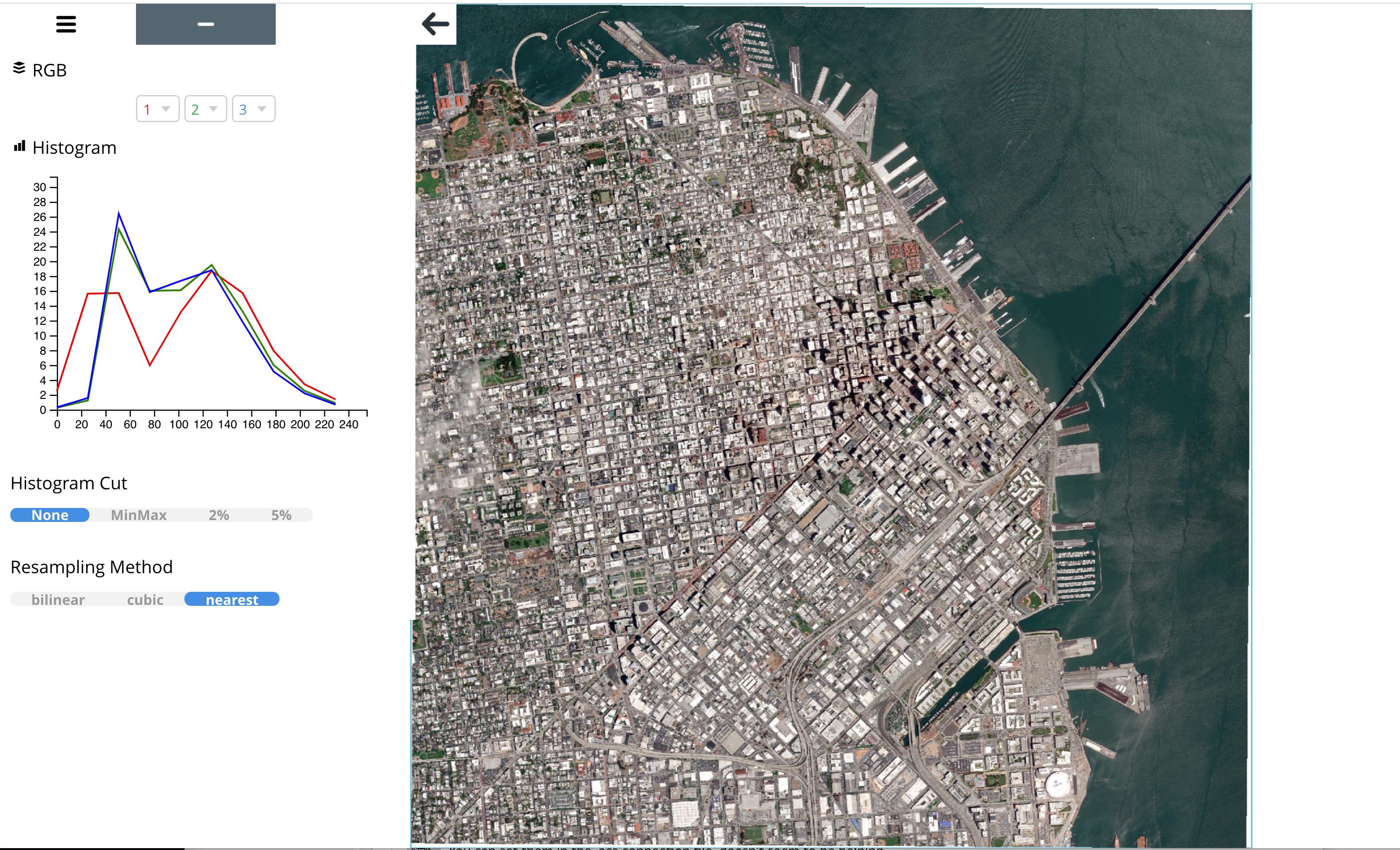
Visualize a GeoTIFF using Rasterio's rio viz command
rio viz /[root dir]/[subdir]/sample-001/10/120020223032/2016-10-08/103001005D31F500-visual.tif
Get information about a file using gdalinfo
gdalinfo /[root dir]/[subdir]/sample-001/10/120020223032/2016-10-08/103001005D31F500-ms.tif
A simple way to open or view an ARD file is to open it from the directory tree.
-
browse the directory tree to locate the file.
-
right click on the file name.
-
Choose from listed applications to open the file. For example, you may have a default viewer or QGIS available in your list.
More Resources
For a more detailed description of the ARD files, see About ARD Order Deliveries
To learn more about ARD tile components and the Maxar Grid, see About ARD