Define an AOI
Last Updated: May 4, 2022
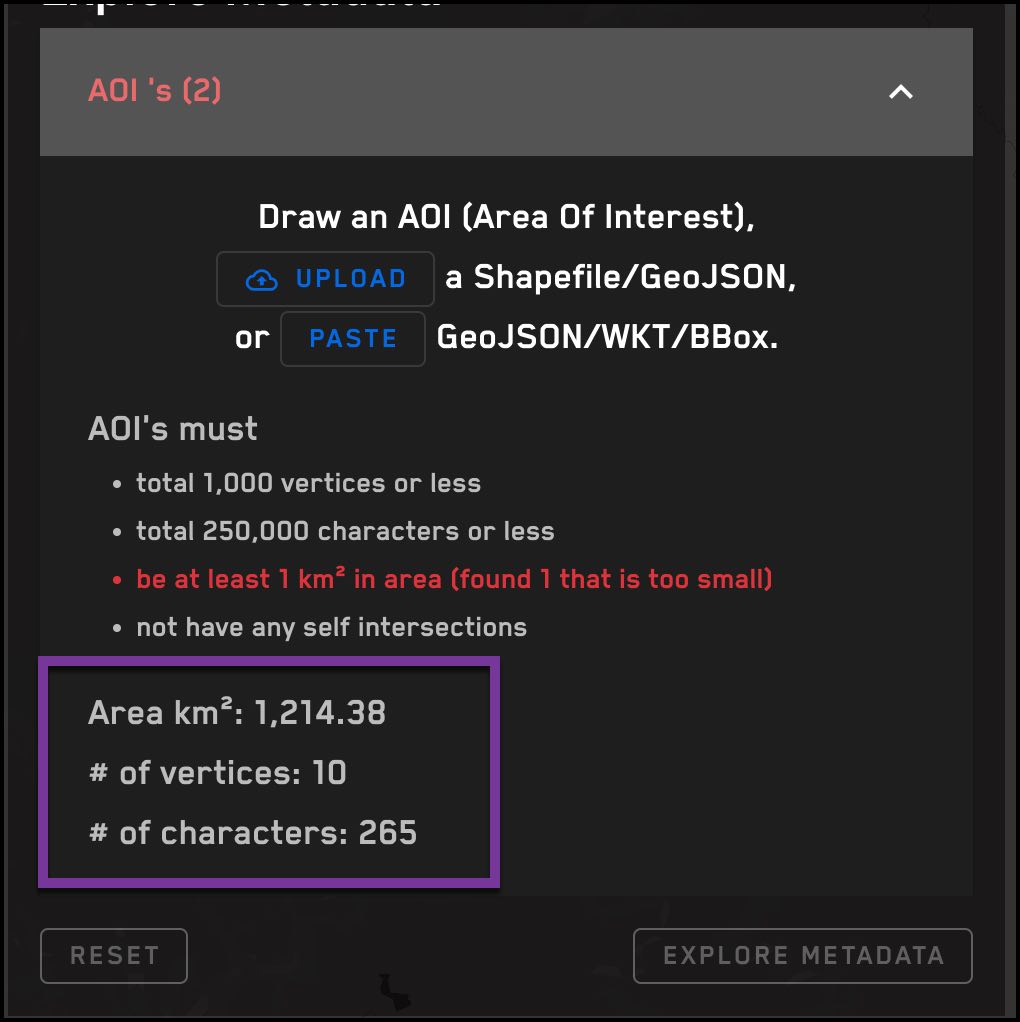
The Explore, Select, and Order pages all have the option to define an Area of Interest (AOI). There are three ways to do this:
-
Draw an AOI on the map
-
Upload a GeoJSON file or Shapefile
-
Paste a GeoJSON, WKT, or BBox AOI geometry into the AOI box
AOI rules and validation
-
GeoJSON and WKT AOIs must be a polygon or a multipolygon.
-
An AOI must be at least 1 square kilometer (sq km).
-
An individual polygon within a multipolygon must be at least 1 sq km.
-
Only 2-dimensional geometries are accepted. A 3-D geometry is not a valid input.
-
The maximum number of vertices allowed in a polygon or multipolygon is 1000.
-
The rotated rectangle containing the polygon must be at least 250m wide.
-
A polygon cannot cross the anti-meridian, or +180°/-180° longitude. An AOI that crosses the anti-meridian should be formatted as a multipolygon that includes a polygon for each side of the line.
-
When ordering by acquisition IDs, the geographic boundaries of the acquisition must intersect with the AOI.
-
The AOI must be within the boundaries of Maxar's Digital Elevation Model (DEM). This excludes Greenland, the Arctic, and Antarctica. See About ARD for more information about DEM coverage.
The area of the requested image must intersect with the AOI
When imagery is ordered by a list of acquisition IDs and an AOI, the area of the acquisition must intersect with the AOI. If no data from the acquisition intersects with the AOI, the "select" response will show 0 estimated usage. The "order" request will result in an error.
AOI Validation
AOI files are validated in two phases:
Client-side validation: takes place at the time the file is uploaded. If the file fails a client-side validation rule, the file will not upload.
Server-side validation: takes place after the file has been uploaded. If the file fails a server-side validation, the AOI will not appear on the map or be available for exploring, selecting, or ordering imagery.
Counts
When an AOI is uploaded, pasted, or drawn, the square kilometers, vertices, and characters in the AOI are displayed.