Draw an AOI
Last updated: May 4, 2022
An AOI can be drawn to define the area for exploring, selecting, or ordering ARD imagery. You can draw an AOI on the map by using the Polygon tool or the Rectangle tool.
The map view is displayed on the Explore and Select pages. It can also be accessed from the Ordering page.
To locate the area you want to draw, start by entering a word or phrase in the search box or clicking on the map to move it around. Then zoom in to the area you're interested in.
Once you've located the area, continue zooming in to further refine your search. You can zoom in by double-clicking the location or by using the plus + sign from the controls menu. Use the minus - sign to zoom out.
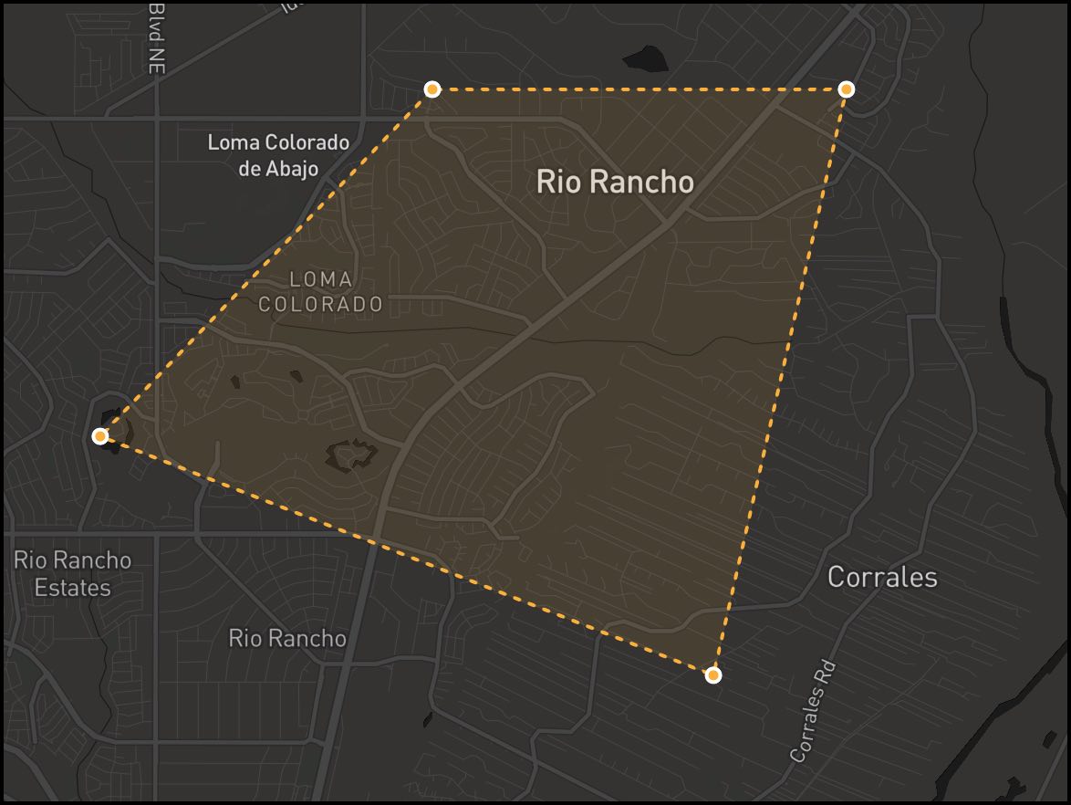
Draw a Polygon
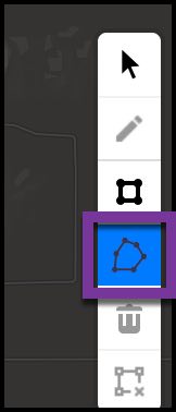
Click the polygon tool, then click on a starting point for your AOI. Click the map after each line you draw to create a point. Close the polygon by drawing a line to the original point and clicking on it.
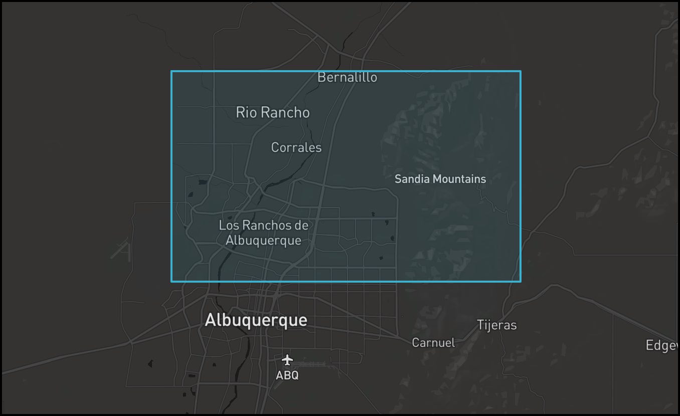
Draw a rectangle
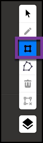
Click the rectangle tool, then point your cursor to the corner where you want the rectangle to start. Then drag the corner of the rectangle to cover your area and click the map when you're done.
Delete an AOI
![]()
To delete a drawn AOI, click inside the polygon or rectangle, then click the delete icon.